thejohnmerrillway
thejohnmerrillway
  • Home
  • About John Merrill
  • ILLUSTRATED TALKS BY JOHN MERRILL
  • The Journey
  • BASIC DAILY WALKING SCHEDULE
  • TTHE ART OF WALKING THE JOHN MERRILL WAY
  • Stage one - London to Bournemouth
  • STAGE TWO - STAGE TWO - BOURNEMOUTH TO LAND'S END - 638 MILES
  • STAGE THREE - MINEHEAD TO BIRKENHEAD - 967 MILES
  • ATAGE FIVE - BIRKENHEAD TO GRETNA GREEN - 454 MILES
  • BADGES AND CERTIFICATES
  • COAST WALK FACTS
  • STAGE SIX - GRETNA GREEN TO OBAN - 1,209 MKILES
  • STAGE SEVEN - OBAN TO CAPE WRATH - 815 MILES
  • STAGE EIGHT - CAPE WRATH VIA JOHN O, GROATS TO INVERNESS - 407 MILES
  • STAGE NINE - INVERNESS TO BERWICK UPON TWEED, ENGLAND.
  • STAGE TEN - BERWICK ON TWEED TO IMMINGHAM - 436 MILES
  • STAGE ELEVEN - IMMINGHAM TO LONDON - 611 MILES
  • IMPOSTER'S
  • OTHER MAJO UK COAST WALKS BY JOHN MERRILL
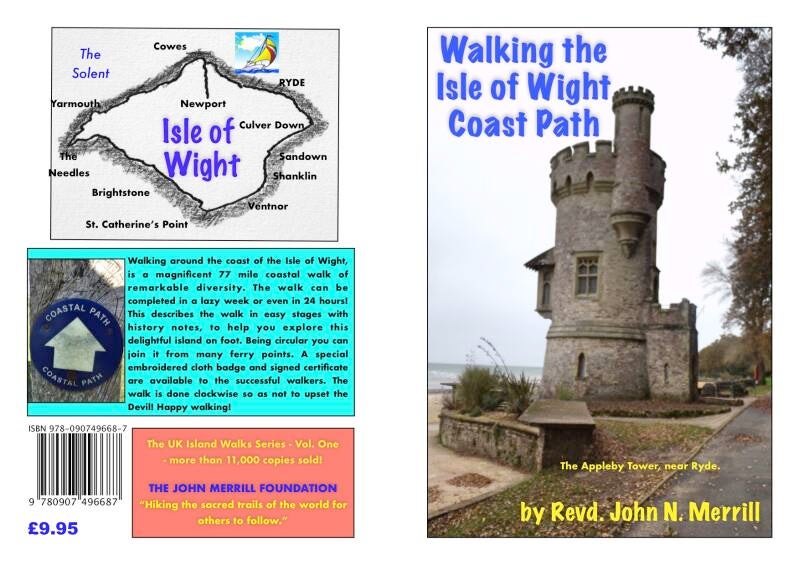
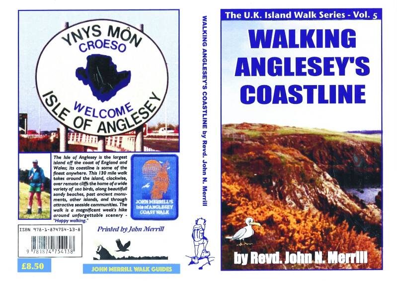
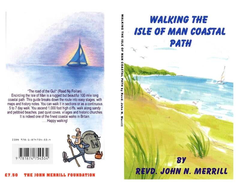
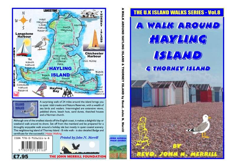
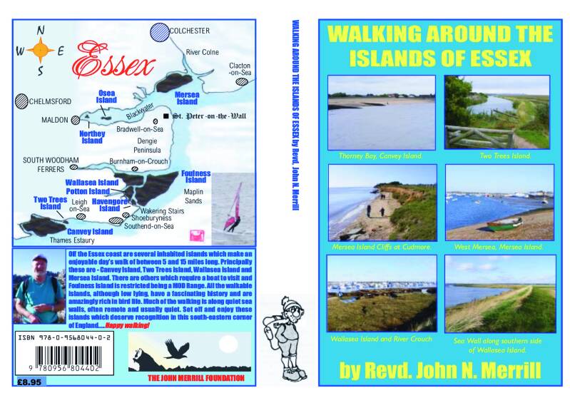
  • UK ISLAND WALKS GUIDEBOOKS
  • 0 Wishlist
  • 0 Cart

A short walk around Southwold, Sunday April 5th. 2026 (Easter)

To celebrate the 40th. anniversary of the walk, I rewalked the Essex coastline, following now more fully, with new rights of way. I walked 320 miles around the Essrx Coastline - remote and saw no one on the sea walls, but plenty of seabirds.


WALKING THE COAST OF BRITAIN.

In 1978 I created, devised and walked around the entire coastline of Britain - England, Wales and Scotland. Becoming the first person to so and a permanent Guinness Book of Records entry. I worked out the entire coastline was 6,100 miles. The Ordnance Survey agreed with my figure. My plan was simple - follow the nearest right of way, be it path or road to the coastline in England & Wales. At low tide I was legally allowed to walk below the high tide mark. In Scotland you are legally allowed to walk anywhere once, so I was able to hug the coast fully. I also planned on the walk being done with just my own two feet, taking no ferries or any transport. As a result I walked 7,000 miles by walking up the estuaries and using the road bridge over the river - never a motorway bridge. For instance the River Severn, it was an 88 mile walk up the river to Gloucester and down the other-side to Chepstow, 4 miles opposite to where I had been four days before! The longest estuary was from Spurn Head to Grimsby - only 4 miles from the headland, but 186 miles on foot. I average between 20 and 40 miles a day, walking everyday, wearing out three pairs of boots, while carrying 50lbs of equipment, over ten months. I excluded islands as there are some 1,200 off the coast and now only have fifty or so to walk around! I set off from St. Paul’s Cathedral, London and crossed Tower Bridge. The bridge marks the meeting point of freshwater and saltwater on the River Thames. I returned to St. Paul’s to complete the walk, ten months later.

Basically the British coastline is (Clockwise) -

London to Land’s End - along the south coast - 1,100 miles.
Land’s End to John o’ Groats - along the west coast - 4,000 miles.
John o’ Groats to Dunscanby Head - along the northern coast - 200 miles. Dunscanby Head to London - down the East Coast - 2,000 miles.

Since then several people have claimed to have walked the coastline of Britain, but this is not so. One person said he had walked 4,500 miles around the coast of Britain, but he is missing 2,500 miles! Another said he had walked it in stages over 4 years, doing 6,500 miles. Upon enquiry I discovered this was not so. He took ferries. At Poole Harbour he took the ferry from Bournemouth to Studland. He classed Poole Harbour an inland waterway; it isn’t. I walked 55 miles around it. Recently a woman set off in Devon to walk around the coast anticlockwise (Devil’s Way). The feature in The Sun showed her route map around the coast stating it was a 2,500 mile walk! The reason for the feature was that after three days she was cut off by the tide and had to be rescued by the RNLI.

The Sun on August 23rd. 2021 reported that Nick Butter had run 5,250 miles around the coast of Britain in 128 days. I wondered how he had missed at least 1,500 miles.

Read my book - “Turn Right at Land’s End” - for the full story of my pioneering walk. (Copyright - Revd. John N. Merrill August 2021).


MY COAST WALK RULES


1. In England and Wales I would use the nearest right of way to the coast, but could legally walk beneath high tide mark.. In Scotland, where the trespass laws are different I could walk as near as I liked to the shoreline.


2. At Ministry of Defence property I would seek permission to walk through ranges

and training grounds as and when I reached them. I would only make a detour inland

if | was refused or if they were actually firing. Although they stopped firing in Northumberland!


3. At estuaries or other water inlets | would walk inland and cross by the first bridge

passable by foot. This did not include motorway bridges though occasionally rail

bridges. It sometimes meant enormous detours—one was 142 miles!


4. Islands were not to be included—there are 942 of them off Britain’s coast.


5. | would always walk round every peninsula and, to sum up, keep as near to the

coast as humanly possible for the whole way.


6. Use no ferry, all must be done on foot.


7. Atomic Power Stations - would have to walk around their site.


8. Major factories, such as British Steel at port Talbot and ICI in England, I was given permission  to walk the coast by the factory.


| should also add that I determined to take no rest days as I don’t find they are a help.

My aim was to keep up an average rate of walking every single day.


ILLUSTRATED COAST TALKS BY JOHN MERRILL -

TURN RIGHT AT LAND'S END - The incredible story of planning and walking the entire coastline of Britain, in 10 months of continous walking - averaging a marathon a day..

HEBRIDEAN JOURNEY - John's first major walk - 1,000 miles linking together all the islands of the Inner and Outer Hebredies.

NORTHERN ISLES JOURNEY - The story of walking and linking together all the islands of Orkney and Shetlands.

IRISH ISLAND JOUNEY - 1,600 mile walk along the west coast of Ireland from Cape Clear Island to Malin Head.

ESSEX COASTLINE WALK - 340 MILES - walking the whole coastline.

Some British island Walks - 

Angelsey - 140 miles

Isle of Man - 100 miles.

Isle of Wight - 77 miles

Essex Islands - 


40. Sunny Corner — Aire Point — Polpry Cove — Cape Cornwall —

Zawn a Bat — Pendeen Watch — Portheras Cove — Porthmoina

Cove — Porthmeor Cove — Gurnard’s Head — Pendour Gove —

Zennor - 22 miles/1160 miles.


41. Zennor — Wicca Pool — Clodgy Point — St Ives — Carbis Bay —

Lelant — Hayle — Gwithian Beach — Godrevy Point — Navax

Point — Hudder Down — Reskajeage Downs — Portreath - 29 miles/1,189 miles.


42. Portreath — Porthtowan — St Agnes Head — Perranporth —

Perran Beach — Penhale Camp — Holywell Bay — Porth Joke —

Crantock Beach — The Gannel — Newquay- 28 miles/1,217 miles.


43. Newquay — Watergate Bay - Mawgan Porth — Park Head —

Constantine Bay — Trevose Head — Harlyn Bay — Gunver Head

— Stepper Point — Gun Point — Padstow - 27 miles/1,244 miles

SOUTH WEST COAST PATH TO LAND'S END - 638 MILES

20. Upton — Lytchett Minster — Wareham — Slepe Heath — Bushey

— Brand’s Bay —South Haven Point — Studland Bay — Studland

— The Foreland — Ballard Cliff— Swanage — Durlston Head —

Seacombe Chiff— St Alban’s Head -38 miles/532 miles.


21. St Alban’s Head = Kimmeridge Bay — Steeple — East Lulworth

Door — Osmington Mills —Weymouth - 30 miles/562 miles.


22. Bowleaze Cove -  Weymouth - Ferry Bridge |- Chesil  - Portland Bill - 

Fortuneswell = Ferry Bridge - 22 miles/584 miles.

23. Ferry Bridge — Chesil Beach — Abbotsbury — Cogden Beach —

Burton Beach — West Bay — Wear Cliffs — Golden Cap —

Charmouth — Lyme Regis - 38 miles/622 miles.


24. Lyme Regis — Landslip — Charton Bay — Seaton — Beer — Beer

Head — Branscombe Mouth — Coxe’s Cliff— Dunscombe Cliff—

Sidmouth — Ladram Bay — Budleigh Salterton — Straight Point

— Exmouth - 39 miles/661 miles.


25. Exmouth — Topsham — Countess Wear Bridge — Exeter

Canal — Powderham — Starcross — Dawlish Warren—Dawlish—

‘Teignmouth - 28 miles/689 miles.


26. Teignmouth — Labrador Bay — Maidencombe — Watcombe —

Torquay — Hope’s Nose — Livermead Sands — Paignton —

Broad Sands — Brixham - 26 miles/715 miles.


27. Brixham — Berry Head — Man Sands — Higher Brownstone

Farm — Kingswear — Raddicombe — Churston — Waddeton —

Port Bridge — Aish— Fleet Mill — Totnes - 26 miles/741 miles.


28. Totnes — Ashprington — Tuckenhay — Higher Tideford —

Capton — Dartmouth — Stoke Fleming — Strete — Slapton Sands

— Torcross — Beesands - 27 miles 768 miles.


27. Beesands — Hallsands — Start Point — Lannacombe Bay —

Prawle Point - Gammon Head — Mill Bay — Goodshelter —

South Pool — Frogmore — West Charleton — Kingsbridge —

Collapit Bridge —Batson—Salcombe—Salcombe Youth Hostel - 33 miles/801 miles.


28. Salcombe Youth Hostel — Bolt Head — Soar Mill Cove — Bolt

Trail — Outer Hope — Butter Cove — Bantham — Aunemouth —

Stadbury — Bridge End — Tidal Road — Bigbury — Bigbury-on-

Sea - 23 miles/824 miles.


29. Bigbury-on-Sea — Ayrmer Cove — Fernycombe Beach —

Wonwell Beach — Torr Down — Clyng Mill — River Erme —

Efford House — Mothecombe — Stoke House — The Warren —

Noss Mayo — Bridgend — Wrescombe — Puslinch — A379 —

Brixton - 30 miles/854 miles.


30. Brixton — Spriddlestone — Season Point — Wembury — Staddon

Heights — Turnchapel — Hooe — Laira Bridge — Barbican — The

Hoe — Plymouth — Stonehouse — Devonport — St Budeaux —

Tamar Bridge — Saltash — Landrake — Tideford - 26 miles/880 miles.


31. Tideford — St Germans — Polbathic — Tredrossel — Sheviock —

Millbrook — Cawsand Bay — Rame Head — Crafthole —

Portwrinkle — Downderry — Seaton — East Looe — West Looe —

Talland Bay — Polperro - 26 miles/906 miles.

32. Polperro — Lantivet Bay — Pencarrow Head — Lantic Bay —

Polruan — Pont — Penpoll — Lerryn — Trewether — Lostwithiel —

Castle — Castle Dore — Newtown — Fowey — Polridmouth —

Gribbin Head — Polkerris — Par Sands — Carlyon Bay — Charlestown - 38 miles/944 miles.


33. . Charlestown — Porthpean — Trenarren — Pentewan Beach —

Mevagissey — Chapel Point —Gorran Haven — Dodman Point —

Porthluney Cove — Portholland — Portloe - 25 miles/969 miles.


34. Portloe — Nare Head — Pendower Beach — Portscatho — Zone

Point — St Anthony — Gerrans — St Just Lane — St Mawes - 27 miles/996 miles.


35. St Mawes — St Just Lane — Trewithian — Ruan High Lanes —

Ruan Lanihorne — Little Tregerrick — Tresillian — ‘Truro —

Carnon Downs — Devoran — Penryn — Falmouth - 32 miles/1,028 miles


36. Falmouth — Pendennis Point — Swanpool Beach — Maen Porth

— Rosemullion Head — Porthallack — Durgan — Porth Navas —

Nancenoy — Gweek — Gear — Manaccan — Helford - 25 miles/1,053 miles.


37. Helford — Manaccan — Porthallow — Porthoustock — Lowland

Point — Coverack — Black Head — Kennack Sands —Cadgwith —

Landewednack — Lizard Point — Lizard - 26 miles/1,079 miles.


38. Lizard — Lizard Point — Kynance Cove — Vellan Head —

Mullion Gove — Polurrian Cove — Poldhu Cove — Halzephron

Cove — Loe Bar — Porthleven — Trewavas Head — Praa Sands —

Bessy’s Cove — Trenow Cove — Marazion - 31 miles/1,110 miles.


39. Marazion — Penzance — Newlyn — Mousehole — Lamorna Gove

—St Loy — Penberth Cove — Porthcurno — Porth Loe — Mill Bay

— Land’s End — Sennen Cove — Sunny Corner - 28 miles/1,138 miles.


© 2026 thejohnmerrillway
Powered by Webador